


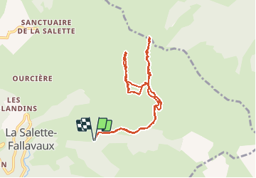

10.6 km | 24 km-effort

User


FREE GPS app for hiking
 SityTrail
IGN / Geographical institutes
SityTrail World
The world is yours!
Trail Touring skiing of 10.1 km to be discovered at Auvergne-Rhône-Alpes, Isère, La Salette-Fallavaux. This trail is proposed by nadd73.
Départ route de notre dame de la Salette. fallavaux et les Mathieux.
Chemin direction de la cabane de la Pale ensuite nous avons dû traversé un ruisseau et une grande traversée mais il faudrait voir monter avant la cabane sur la croupe qui mène à la Pale ronde.
Repeautage et col de la Pale.
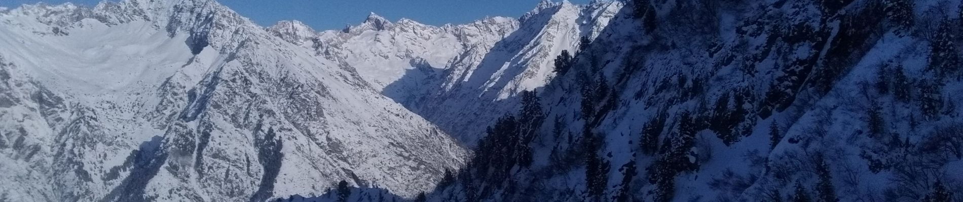
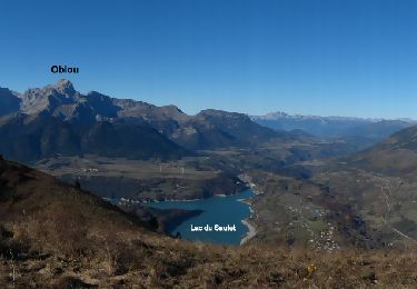
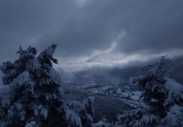
Très belle vue.


Walking

Walking
Walking
Touring skiing
Walking
Walking
Walking
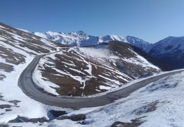
Touring skiing
Walking